

The use of artificial intelligence (AI) is based on the idea of optimizing, streamlining, and expanding the scope of diverse operations. Their systems are programmed to identify patterns and make predictions and decisions and ultimately execute actions with speed and precision, while the efficiency of the models depends on the quantity and quality of data, whether obtained from applications, cameras, and sensors, or otherwise. In the urban context, technology could be an important device to improve city management. As a result, AI is often associated with the concept of smart cities, having common features such as the use of management strategies and technologies that aim to increase citizens' quality of life and create greater efficiency in resources and services.
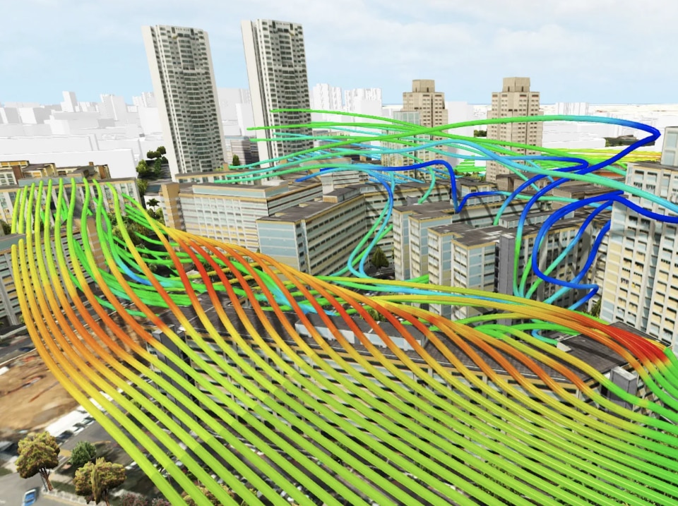
Artificial intelligence helps urban designers and planners to design responsive urban environments driven by strategies supported by real-time data, just as it can help to deeply integrate sustainable strategies into the urban environment with real-time information, better manage traffic, and ensure equitable public transport and more efficient public services.
First experiments
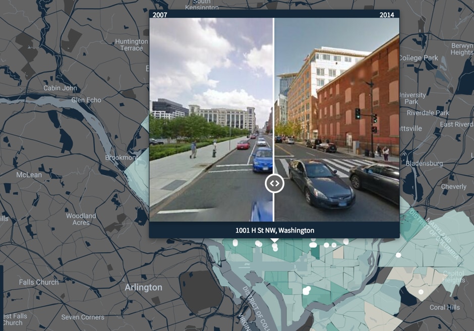
In assessing the actual potential of this system, a team of economists and computer scientists from Harvard and MIT relied on a combination of Street View and artificial intelligence to monitor physical changes in neighborhoods and perceived safety, later recounting the experience in the paper Computer Vision Uncovers Predictors of Physical Urban Change published in May 2017. The researchers, led by academics Scott Duke Kominers and Nikhil Naik, subjected nearly 3,000 images to an algorithm to determine factors predictive of neighborhood improvement. Although some of the conclusions reached are not particularly surprising to urban planning experts, the researchers say the study highlights the clear potential of artificial intelligence to provide policymakers and urban scientists with a more robust way to test long-standing theories.
Artificial intelligence helps urban designers and planners to design responsive urban environments driven by strategies supported by real-time data
Shortly afterward, the technology was tested in the Metropolitan City of London to predict the performance of gentrifying suburbs. They started by measuring socioeconomic status with four key variables: household income, property values, employment share, and job qualifications. Once the socioeconomic status of each neighborhood was calculated, researchers analyzed the correlation between other demographic measures, such as age and ethnicity, and gentrification. When the 2001 model predicted what would happen in 2011, it aligned quite closely with what occurred in real life. It generated a very tight statistical fit compared to other traditional models, such as standard regression analysis.
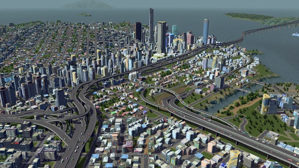
Digital twins
The possibility of creating twin prototypes of entire metropolises in virtual reality is, in any case, one of the most immediate and tangible potentials that the vast world of the metaverse could offer planners and designers. Using three-dimensional mapping and the analysis of static and real-time data, in fact, we could not only have at our disposal invaluable data - from traffic to air quality - but, even more interestingly, we have the possibility to create imaginary scenarios and understand a priori what the strategies to be adopted will be.
This is the case, for example, in Orlando, Florida, virtually recreated inside the offices of the Orlando Economic Partnership (OEP). Orlando’s planned showcase is one of the most conspicuous uses of a new technology that is being lauded as a potential game-changer for urban planning. The city plans to use the digital twin technology for more than virtual tours. It also hopes to preview how various investments, such as upgrading a transit system, could affect the built environment and its residents.
Overseas, Virtual Singapore is a tried-and-tested model of the island nation that includes more than 3 million images captured at street level, as well as billions of data points plotted in 3D. The model is also capable of distinguishing various volumes - buildings from trees, streets from pavements, and so on - making it easier to verify the reaction of individual elements in various simulations. This is an ambitious research program with three strategic thrusts: to consolidate research on 3D data, to catalyze the local 3D modeling industry, and to develop an operational 3D city model and a platform integrating the collected data and simulation algorithms for use in planning by researchers, citizens and civil servants. In this case, the already operational 3D model of the metropolis is available for use by both state agencies and private sector actors, research institutes, and university laboratories, helping in programs such as flood risk analysis, opportunities for solar panels and green roofs, and examining the impact of wind load on vegetation..