


Roberto Arista: To start, it might be useful to analyze a couple of terms. What is your definition of map?
Joost Grootens: I don’t necessarily think that there has to be a piece of drawn paper, but it must display certain characteristics: a legend or an alternative system for reading the map, a scale, a frame, a title and a clear reference to the data source. This is the essence.
Roberto Arista: What is the relationship between maps and atlases?
Joost Grootens: The atlas is a collection of maps, or, more precisely, a collection of information. It is a book that collects visually-translated data, integrating it, as far as possible, within a theme-based information system.

Roberto Arista: Your office has designed many books over the years, but over time you have specialized in atlases. How does an atlas project start?
Joost Grootens: I always introduced maps into my projects in an attempt to organize or translate some of the information that the book had to convey - even art books. It is rare that a direct request is made for them, but I believe they give my projects important added value.
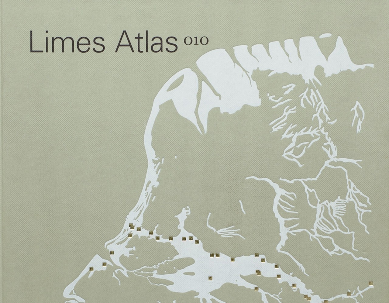
For this reason, one of the publishing houses that I work with most, 010 Publisher, Rotterdam, considers me an expert in cartography because I often suggest adding cartographic plates to their volumes. When they were asked to do a book full of maps, they contacted me and we transformed it into an atlas. Just to give you an idea, 80% of the books I design were already books before I became involved. This is also true of the Metropolitan World Atlas. I am often involved in their subsequent development by transforming them into graphically consistent and correct publications.

Roberto Arista: Why do we need atlases in a world where everyone has access to Google maps or OpenStreetMap?
Joost Grootens: It’s useless to try to put GoogleMaps in a book. An atlas needs quite a long time for its development. It is expensive and printing is not environmentally sustainable. It can’t be easily updated. Given the high cost – from many different points of view – replicating something with its own digital identity doesn’t make sense.
I've worked on thematic atlases that face specific topics: urban development plans, a precise set of cities, historical issues. These are themes that render an atlas interesting and consistent.
I call many of the books that I make Google Books: the author collects data from the Internet or from other sources, creating a huge database of information that I work with, trying to make it accessible. The crux of the matter lies in opening doors, connecting elements.

Roberto Arista: It seems that your books focus on color as one of their main visual elements. In addition, the colors in your atlases are different from classical cartography. How do you design them?
Joost Grootens:
It’s true. I do devote a lot of time to this particular design element. Clearly I design everything else - organization, forms, signs - but I think this is one of the most expressive variables in my work. I started as a painter, then I became an architect and later a graphic designer. Color is probably one of the tools I use most naturally as a designer.
I always start by observing standards. I ask myself “What does the reader expect?” That the water is blue, houses are red, that the railway is dashed in a certain way, that the highway is differentiated from footpaths and so on. At this point, we determine how to use color to highlight the content that we must convey. I emphasize colors by changing their brightness, making them lighter or darker, and using special inks. I tend to use two palettes, differentiating the foreground from the background. I don’t think a reader can easily handle too many levels: there would be too much information displayed.
