Uncharted

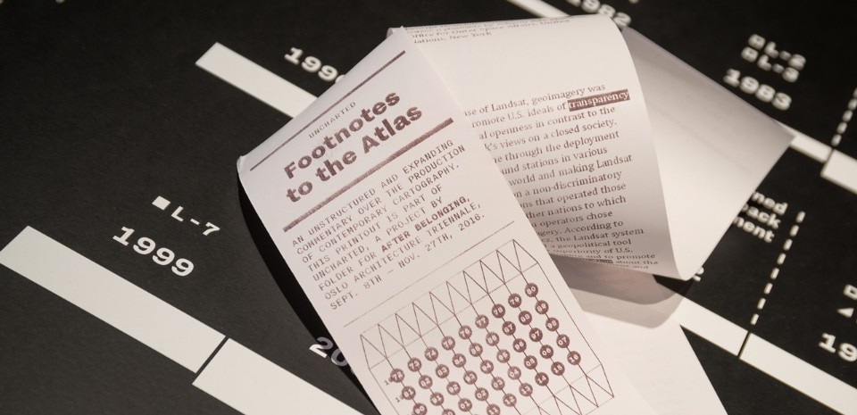
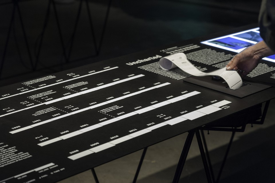
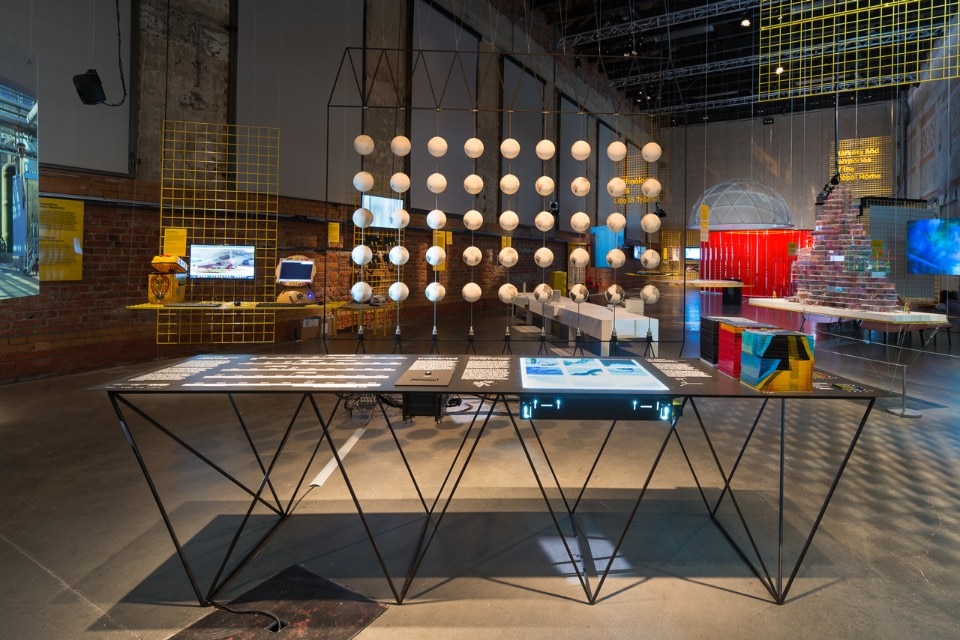
Exhibited at the Oslo Architecture Triennale 2016, Folder designed a series of experimental visualisations, which examine the infrastructure behind contemporary cartography.

“Uncharted—Footnotes to the Atlas”, Installation view, On Residence, Oslo Architecture Triennale 2016: After Belonging. Photograph by Istvan Virag.
This  series of experimental visualisations examines the infrastructure behind contemporary cartography. Once directly connected to a physical activity on the territory (often accomplished through a coordinated parade of military and state presence), land surveying  is now the result of remote observation by a vast array of orbiting sensors.
“Uncharted—Footnotes to the Atlas”, Installation view, On Residence, Oslo Architecture Triennale 2016: After Belonging. Photograph by Istvan Virag.
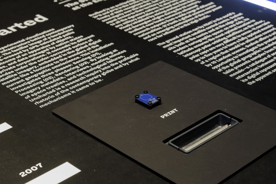
Top: Folder, Uncharted – Footnotes to the Atlas, installation view (detail), On Residence, Oslo Architecture Triennale 2016: After Belonging. Photograph by Istvan Virag. Above: Folder, Uncharted – Footnotes to the Atlas, installation view, On Residence, Oslo Architecture Triennale 2016: After Belonging. Photograph by Istvan Virag
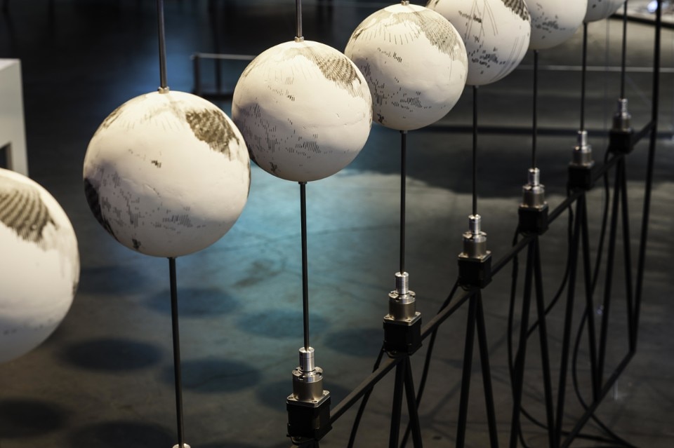
The seamless globe and the criss-crossing of GPS-calculated paths on mobile devices are maybe the most obvious outcome of this overarching view from low Earth orbit. Beyond the profitable rhetoric of a borderless world, the remote sensing apparatus is made of objects, facilities, and data still managed by nation states and private corporations. 
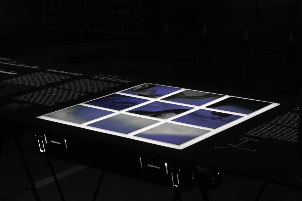
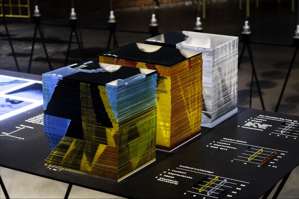
Folder, Uncharted—Footnotes to the Atlas, installation view, On Residence, Oslo Architecture Triennale 2016: After Belonging. Detail of the section “The Digital Earth: Charting the Z-axis”: three models represent a vertical section through the cloudless, evenly-lit skies of digital mapping services, showing the variety of sources of the current global remote sensing apparatus. Photo © Folder
Folder, Uncharted – Footnotes to the Atlas, installation view, On Residence, Oslo Architecture Triennale 2016: After Belonging. Detail of the section “The Digital Earth: Charting the Z-axis”: three models represent a vertical section through the cloudless, evenly-lit skies of digital mapping services, showing the variety of sources of the current global remote sensing apparatus. Photo © Folder
This installation investigates the production of digital cartography in three phases: Sensing, Processing, Rendering. By looking at satellite imagery metadata, archival materials, interviews, meeting minutes of space treaties, and technological failures, Uncharted is a research inquiry into the image of the contemporary globe and by what mechanisms it came to be.

until 27 November 2016
Folder: Uncharted – Footnotes to the Atlas
Research and design by Folder (Marco Ferrari, Elisa Pasqual, Alessandro Busi, Pietro Leoni, Francesca Lucchitta, Giovanni Pignoni, Mariasilvia Poltronieri)
Design and production byFolder and Gisto (Alessandro Mason)
Special Thanks: Giovanni De Francesco
Oslo Architecture Triennale 2016

Latest on News

Latest on Domus

Read more
China Germany India Mexico, Central America and Caribbean Sri Lanka Korea icon-camera close icon-comments icon-down-sm icon-download icon-facebook icon-heart icon-heart icon-next-sm icon-next icon-pinterest icon-play icon-plus icon-prev-sm icon-prev Search icon-twitter icon-views icon-instagram